

- Description
Aerial Photo Map of Sansom Park, TX We put your small town on the map! Want a custom area Aerial Photography Map, we have imagery for the entire USA. Interested in a Street Map of the same area? Interested in digital Aerial Photography so you can make/print your own map? Interested in USGS Topographic Maps also? |
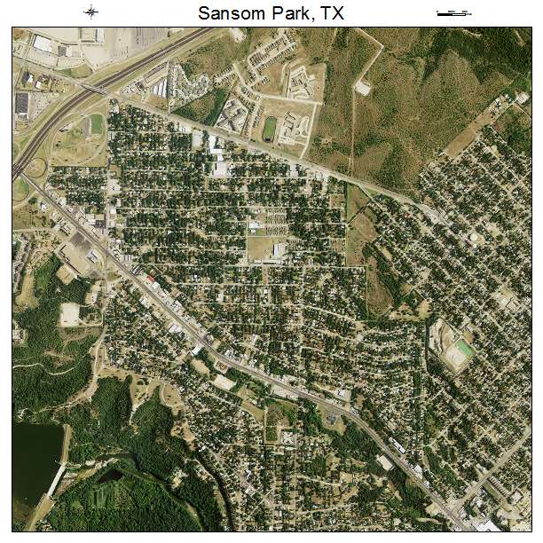
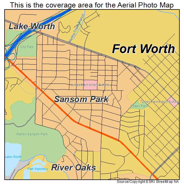
Sansom Park, TX Texas Aerial Photography Map 2020
https://www.landsat.com/sansom-park-texas-aerial-photography-map.html
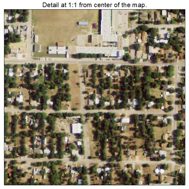
2020 Aerial Photography Map of Sansom Park TX Texas
Image Trader
Product ID: APM-4865660
$19.97 New In Stock
Categories
- Digital Aerial Photography
- USGS Topo Maps on CD
- Printed Aerial Maps
- Printed Street Maps
Information
- List of Aerial Data
- Mosaic Dataset for ArcGIS
- GIS Services